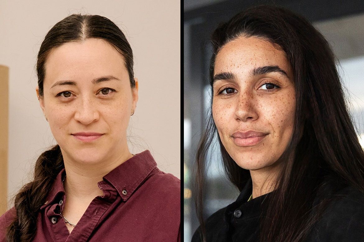
Women In GIS: Preparing for a Female Future in GIS
Tips
My journey in GIS started 10 years ago when I needed to decide on a college major. Growing up, I had a passion for learning about the environment and Earth. Therefore, I decided to major in Earth Science during my undergraduate year of studies. Later on, I entered a water resources and hydrogeology program in our department because I was particularly interested in interactions between soils, water and climate.
To me, the most fascinating part of my undergraduate studies were the diverse field trips and mapping activities I conducted over the summers. This marked my first experience with geospatial information and GIS techniques. With the help of GIS applications, I was amazed that I had a much clearer understanding of current and historical geology and topography.
After my receiving my bachelor’s degree, I entered Penn State University’s Ph.D. program in soil science and agronomy to continue pursuing my professional interests. At Penn State, I for the first time received systematic trainings on GIS, ranging from commercial software like ESRI products to geospatial analysis in R or Python. More importantly, I applied GIS every day to conduct my thesis research projects. Without GIS, it is impossible to test the role of precision/digital agriculture in water quality improvement or to connect field-scale farming practice to watershed-scale impacts. I really enjoyed working with geospatial data, maps and coding scripts every day.
The views and opinions expressed in the article are solely those of their authors, and do not necessarily reflect the opinions and beliefs of UDiversity.com.
Continue Reading


Comments (5)
Best Company Reply
- Ali Tufan
- 2 days ago
Lorem ipsum dolor sit amet, consectetur adipiscing elit. Fusce vel augue eget quam fermentum sodales. Aliquam vel congue sapien, quis mollis quam.Because Other Candidates
- Martha Griffin
- 23 August 2018
Lorem ipsum dolor sit amet, consectetur adipiscing elit. Fusce vel augue eget quam fermentum sodales. Aliquam vel congue sapien, quis.Aldus PageMaker including versions Reply
Lorem ipsum dolor sit amet, consectetur adipiscing elit. Fusce vel augue eget quam fermentum sodales. Aliquam vel congue sapien, quis mollis quam.